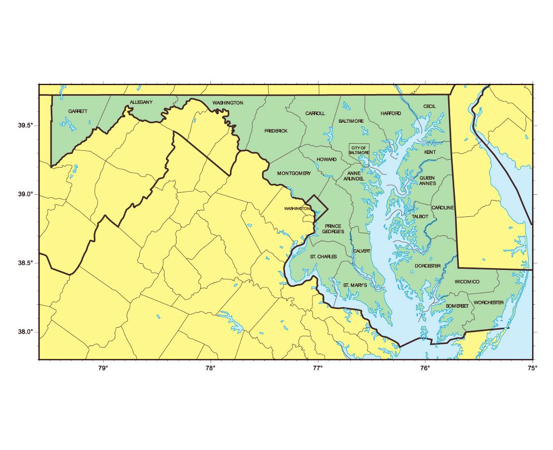
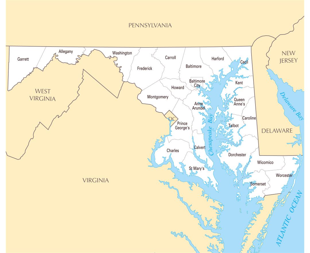
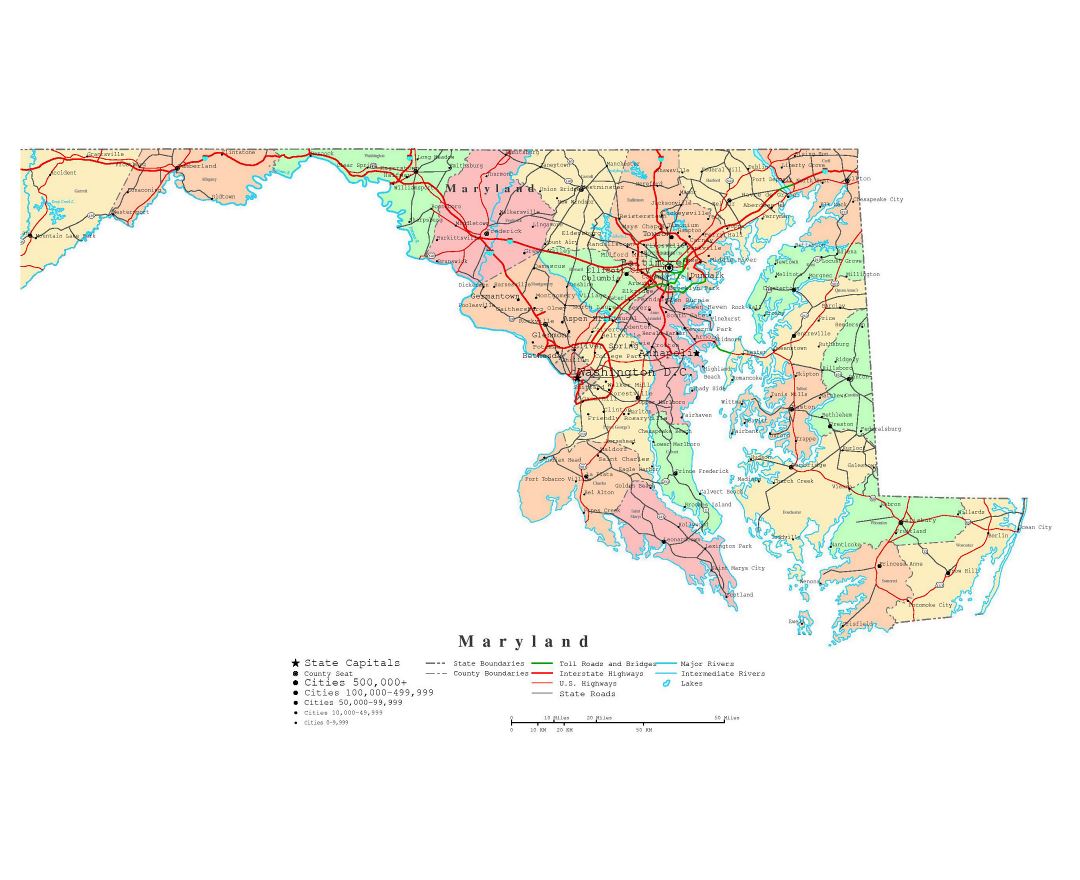
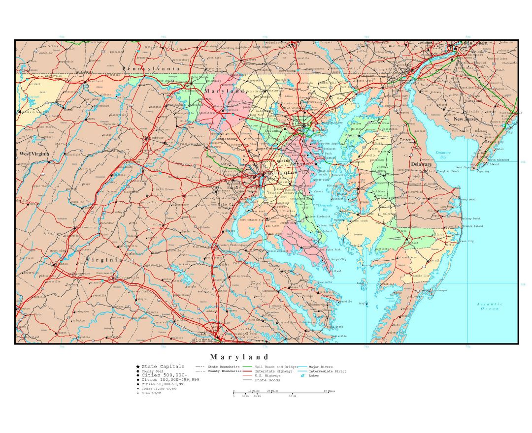
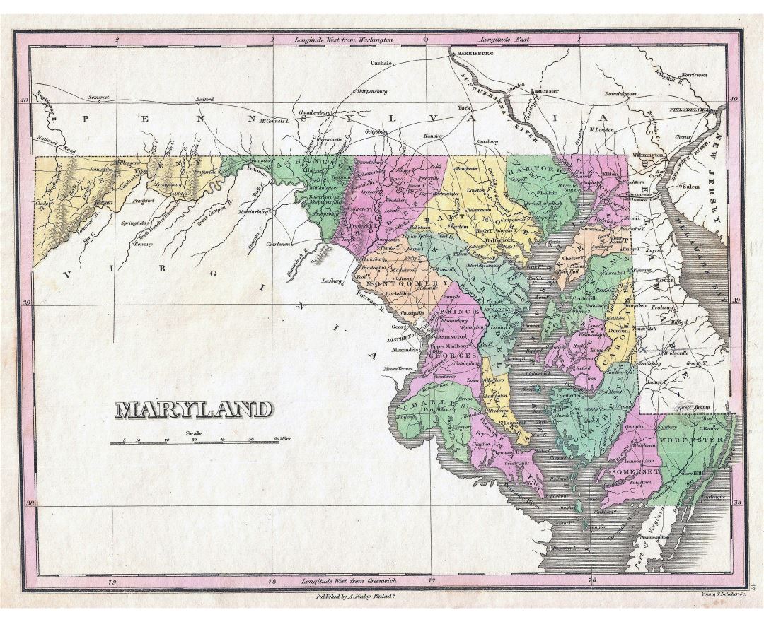
Maryland state
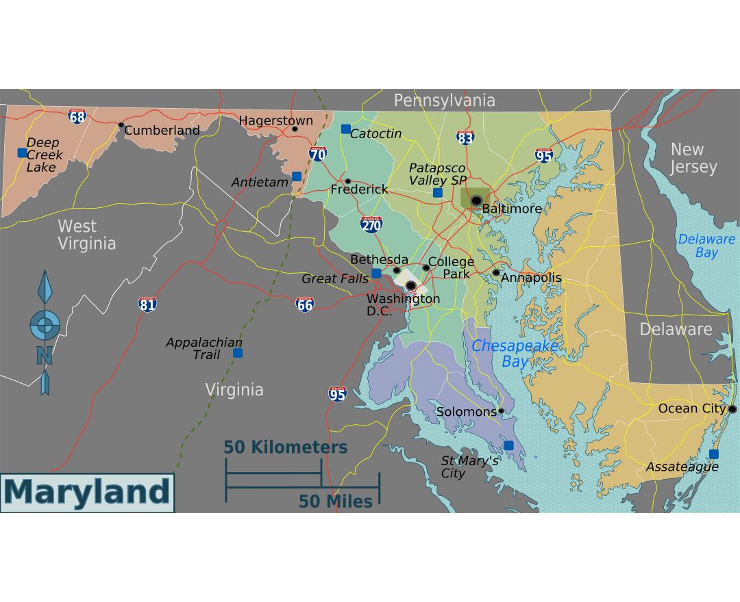
Maryland is a state located in the Mid-Atlantic region of the United States, bordering Virginia, West Virginia, and Washington, D.C. to its south and west, Pennsylvania to its north, and Delaware to its east. The state's largest city is Baltimore, and its capital is Annapolis. Among its occasional nicknames are Old Line State, the Free State, and the Chesapeake Bay State. The state is named after Henrietta Maria of France, the wife of Charles I of England.
One of the original Thirteen Colonies, Maryland is considered to be the birthplace of religious freedom in America, when it was formed by George Calvert in the early 17th century as an intended refuge for persecuted Catholics from England. George Calvert was the first Lord of Baltimore and the first English proprietor of the then-Maryland colonial grant. Maryland was the seventh state to ratify the United States Constitution, and played a pivotal role in the founding of Washington, D.C., which was established on land donated by the state.
Maryland is one of the smallest states in terms of area, as well as one of the most densely populated, with around six million residents. With its close proximity to the nation's capital, and a highly diversified economy spanning manufacturing, services, and biotechnology, Maryland has the highest median household income of any state.