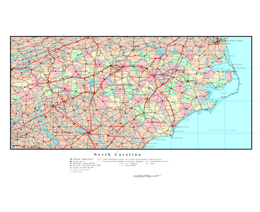
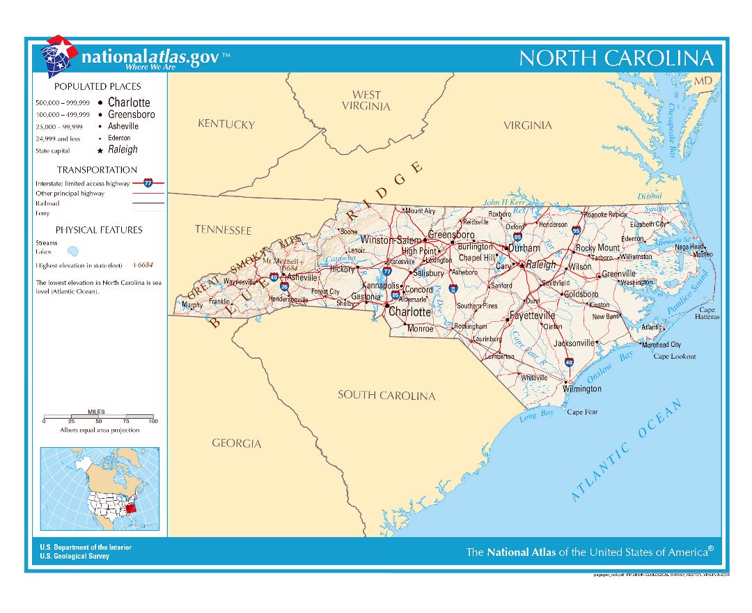
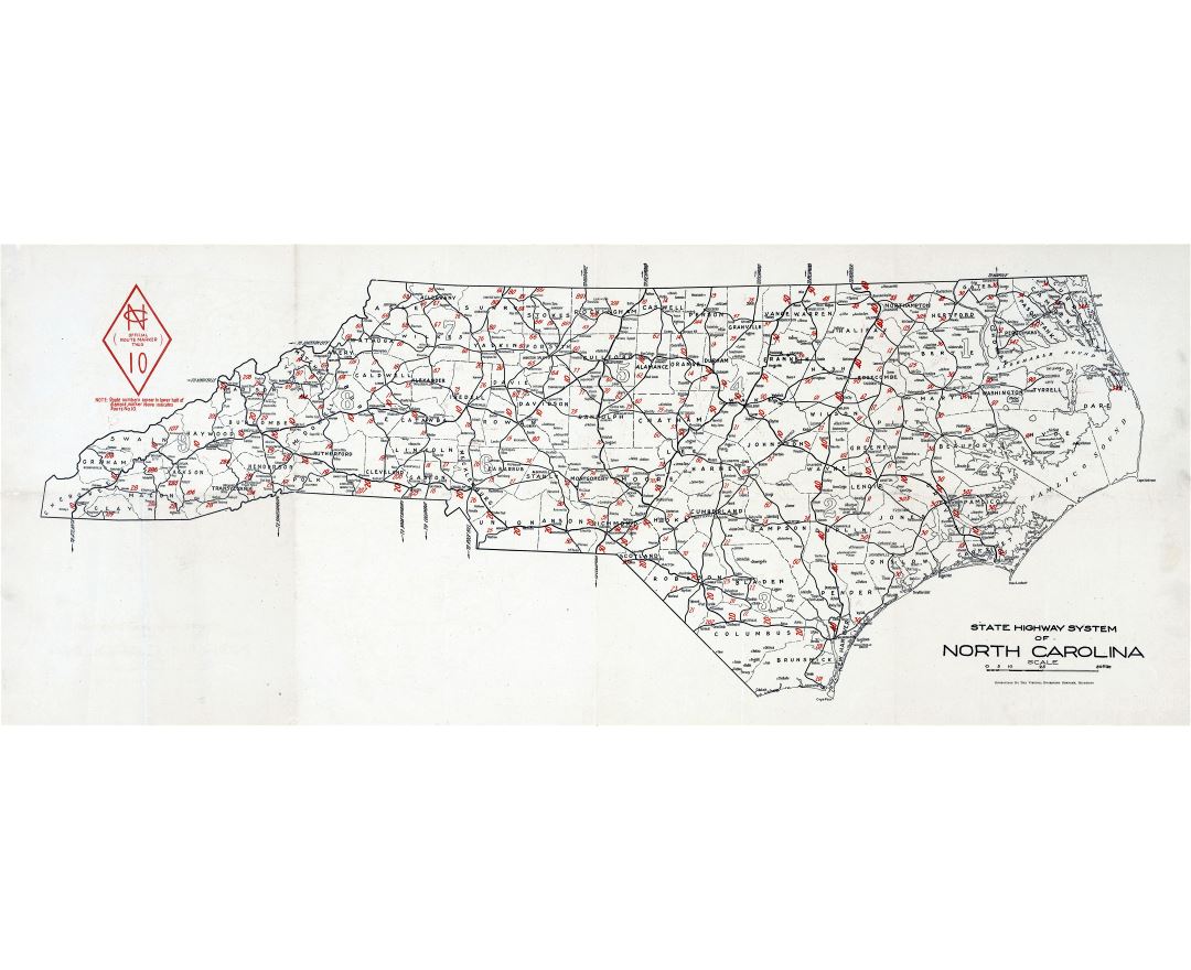
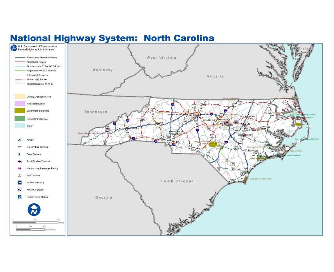
North Carolina state
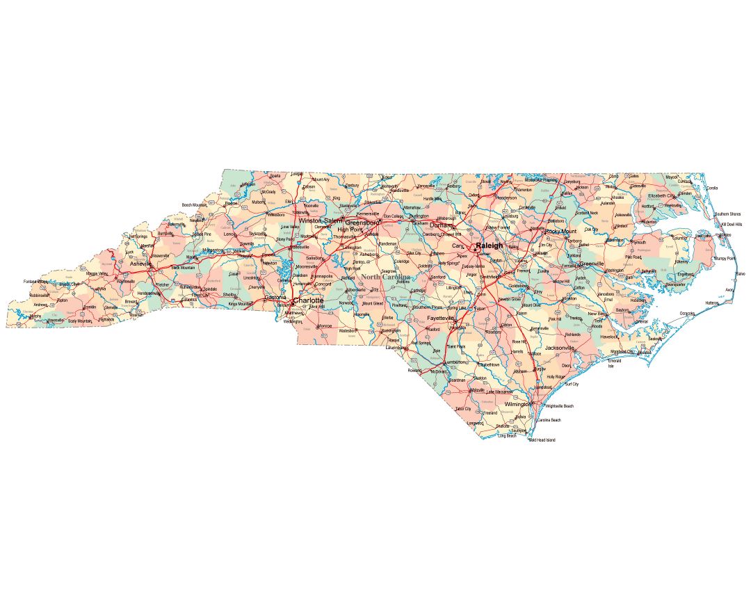
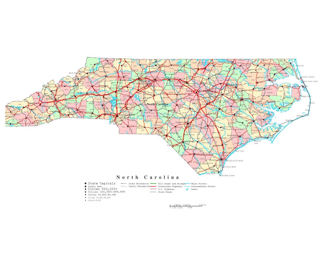
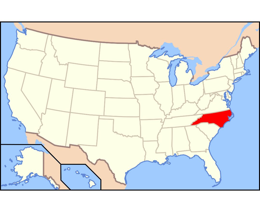
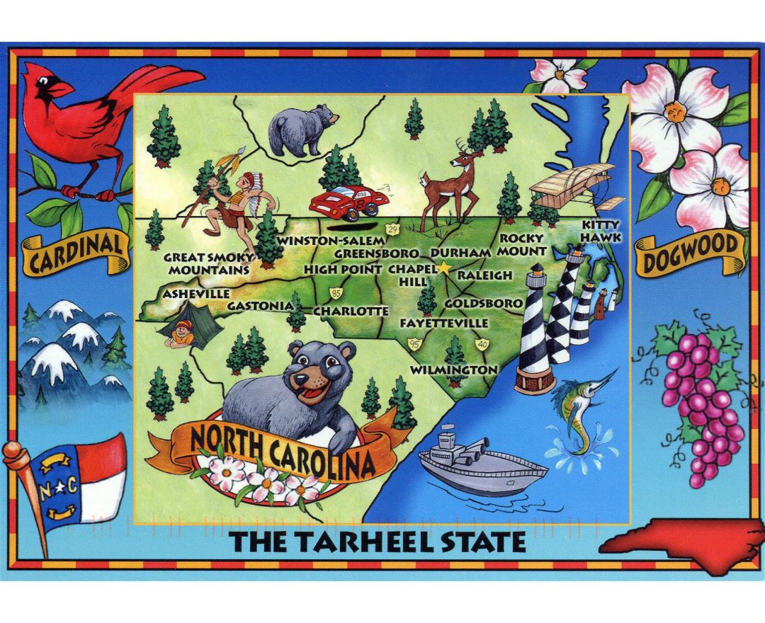
North Carolina is a state in the southeastern region of the United States. The state borders South Carolina and Georgia to the south, Tennessee to the west, Virginia to the north, and the Atlantic Ocean to the east. North Carolina is the 28th most extensive and the 9th most populous of the U.S. states. The state is divided into 100 counties. The capital is Raleigh. The most populous municipality is Charlotte, which is the second largest banking center in the United States after New York City.
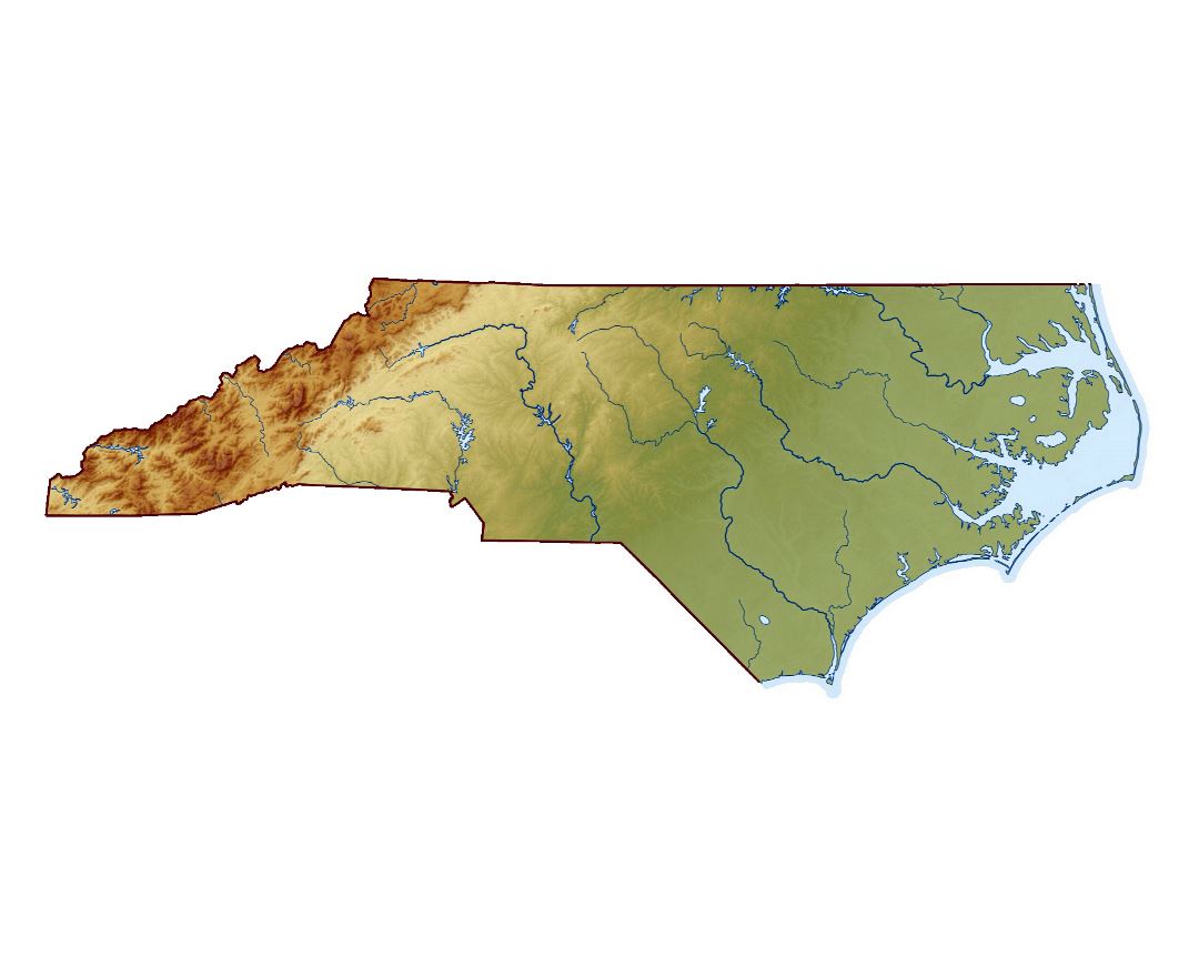
The state has a wide range of elevations, from sea level on the coast to 6,684 feet (2,037 m) at Mount Mitchell, the highest point in North America east of the Mississippi River.[9] The climate of the coastal plains is strongly influenced by the Atlantic Ocean. Most of the state falls in the humid subtropical climate zone. More than 300 miles (500 km) from the coast, the western, mountainous part of the state has a subtropical highland climate.