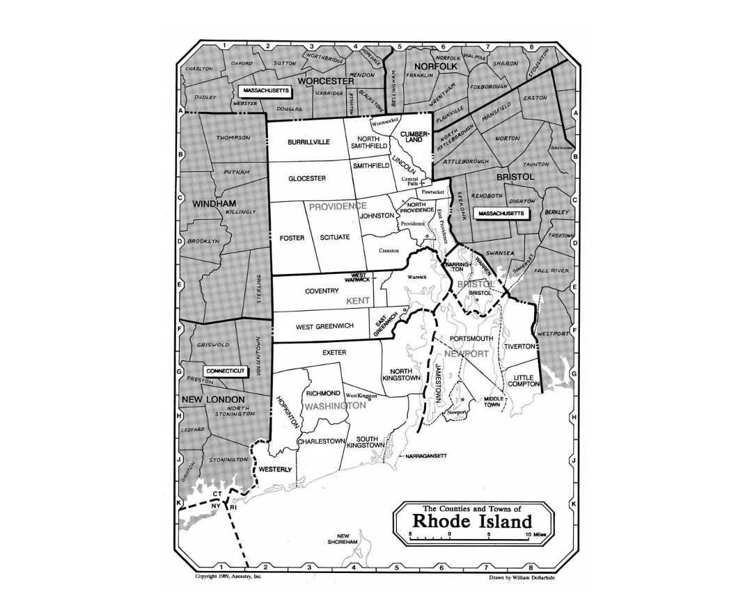
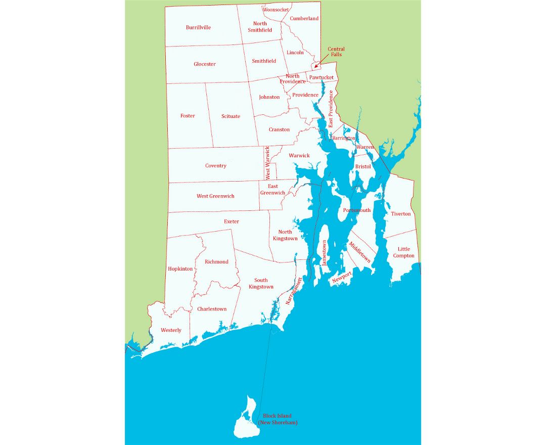
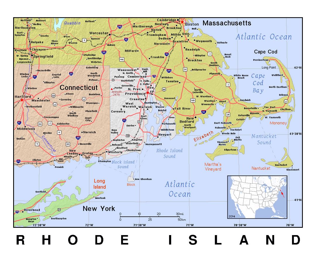
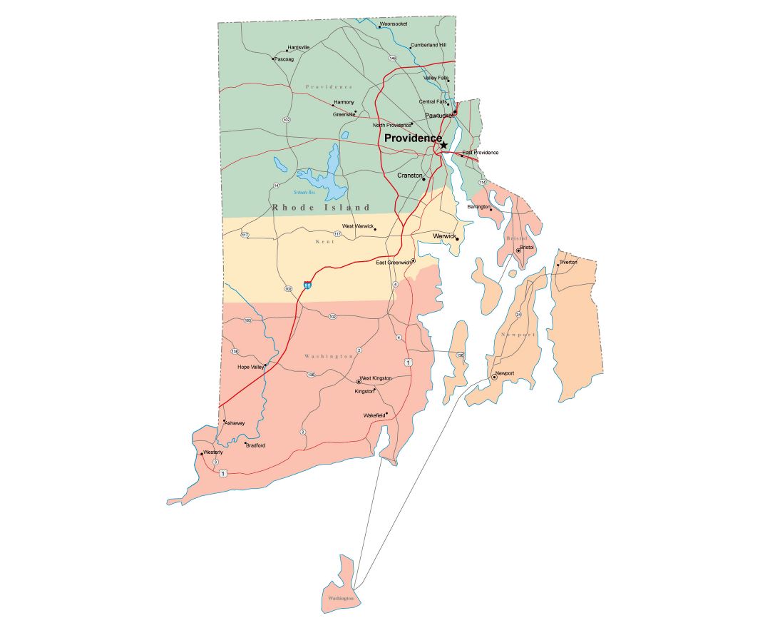
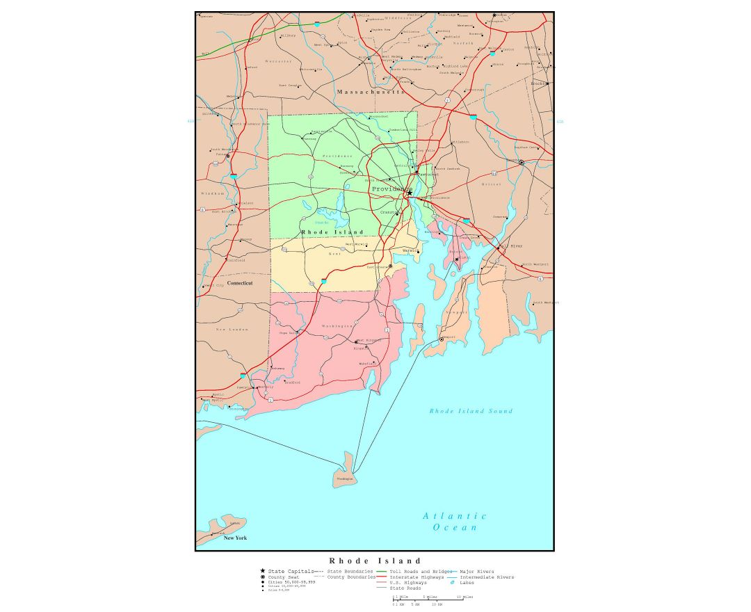
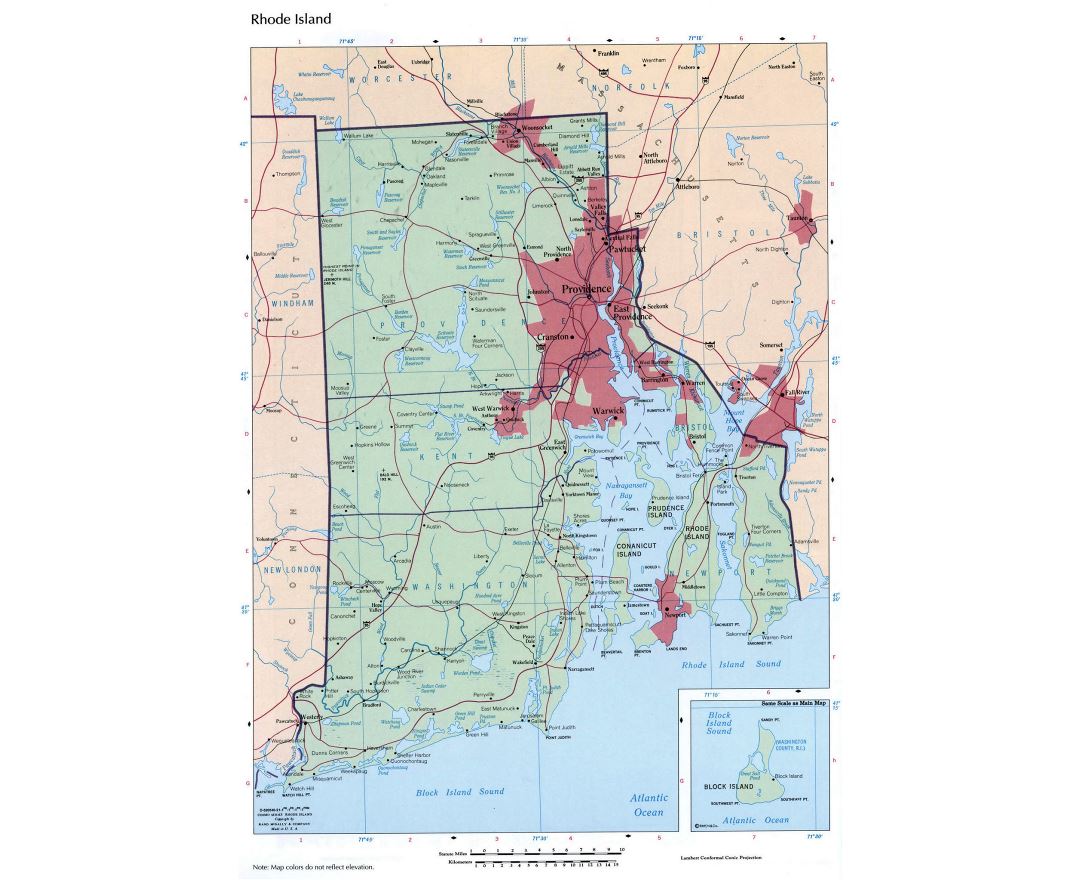
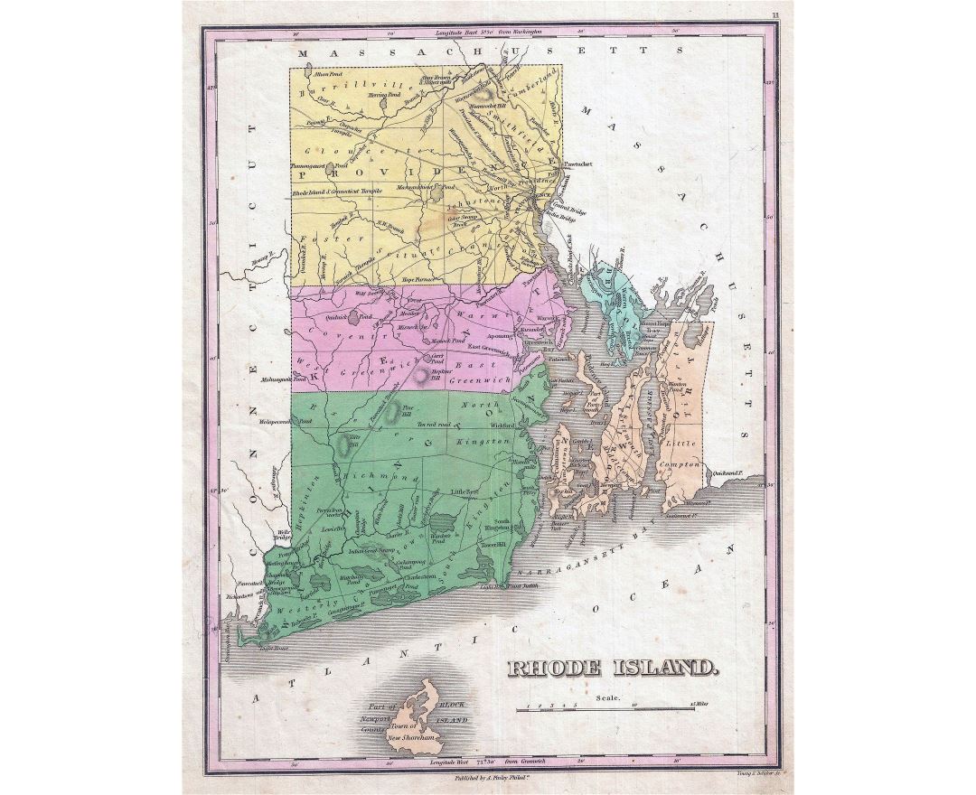
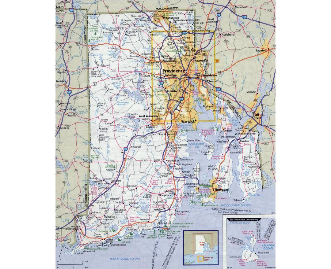
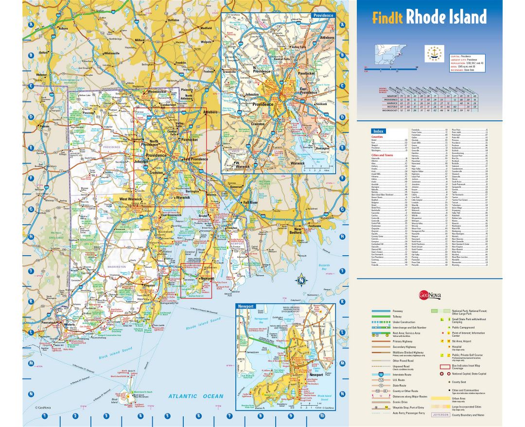
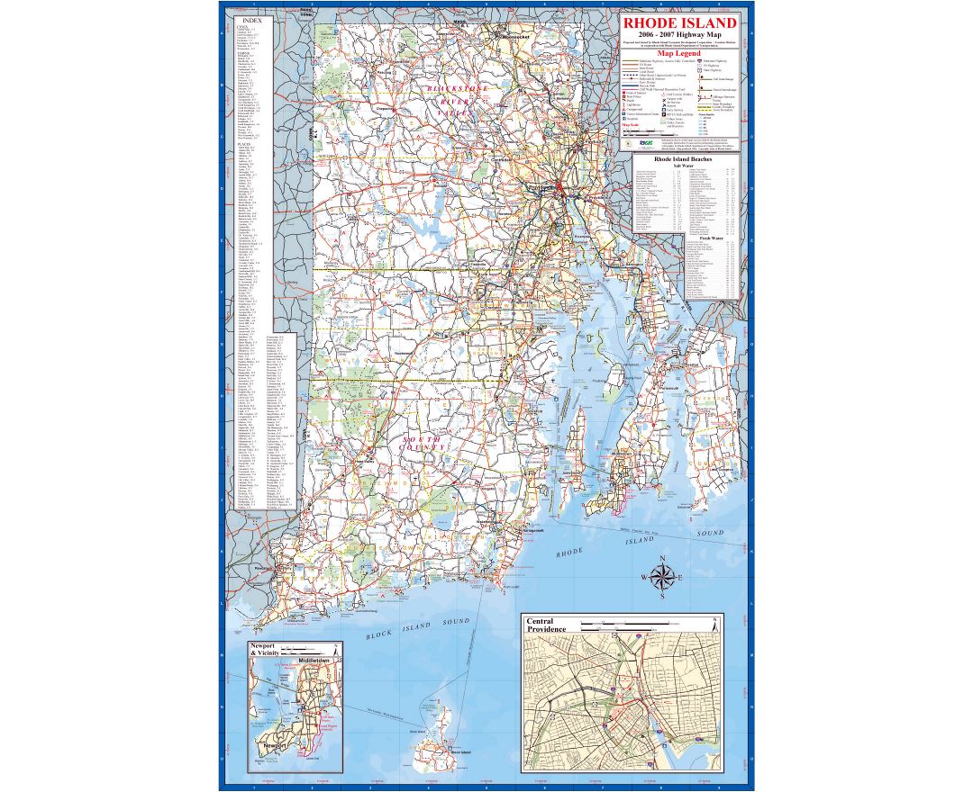
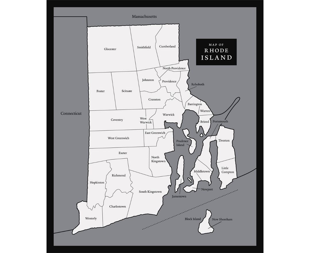
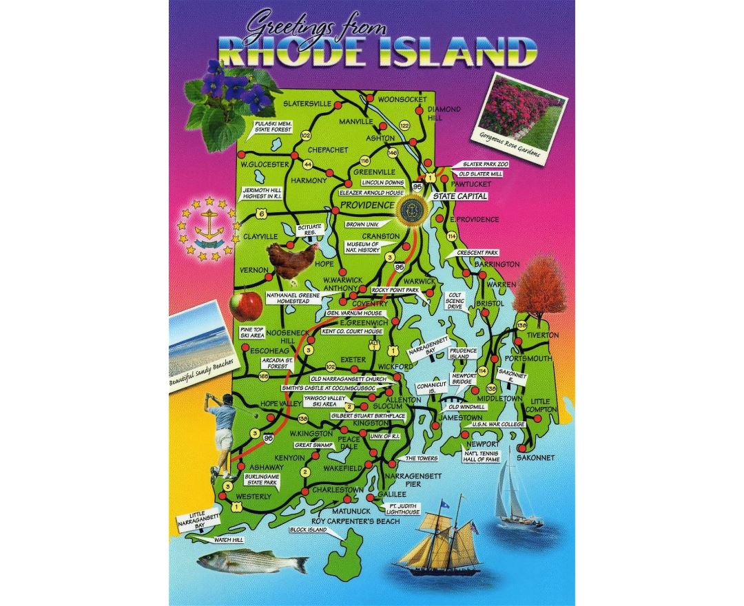
Rhode Island state
Rhode Island officially the State of Rhode Island and Providence Plantations, is a state in the New England region of the northeastern United States. Rhode Island is the smallest in area, the eighth least populous, and the second most densely populated of the 50 U.S. states, following New Jersey. Its official name is also the longest of any state in the Union. Rhode Island is bordered by Connecticut to the west, Massachusetts to the north and east, and the Atlantic Ocean to the south via Rhode Island Sound and Block Island Sound. The state also shares a short maritime border with New York.
On May 4, 1776, Rhode Island became the first of the Thirteen Colonies to renounce its allegiance to the British Crown, and was the fourth among the newly sovereign states to ratify the Articles of Confederation on February 9, 1778. It boycotted the 1787 convention that drew up the United States Constitution and initially refused to ratify it. On May 29, 1790, Rhode Island became the 13th and last state to ratify the Constitution.
Rhode Island's official nickname is "The Ocean State", a reference to the fact that the state has several large bays and inlets that amount to about 14% of its total area. Rhode Island covers 1,214 square miles (3,144 km²), of which 1,045 square miles (2,707 km²) are land.