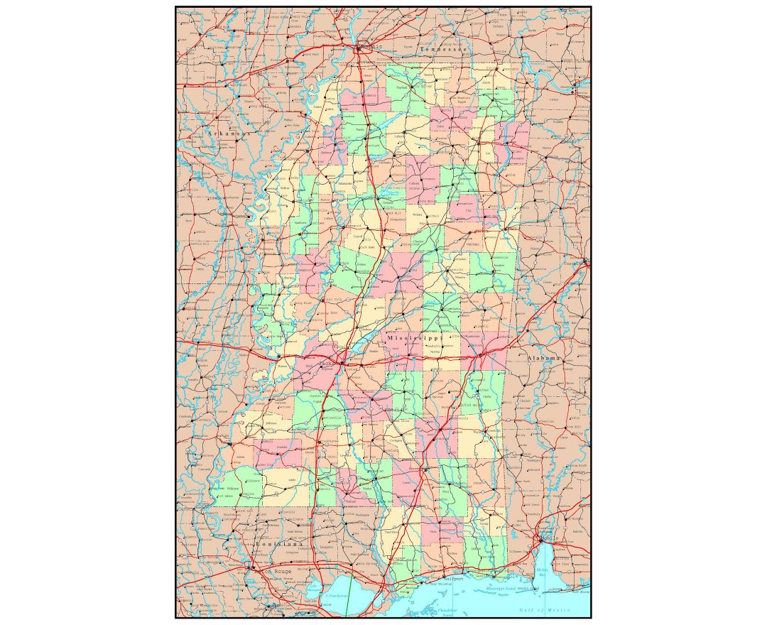
Mississippi state
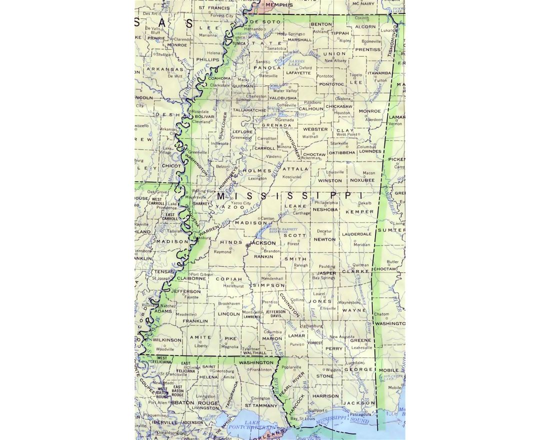
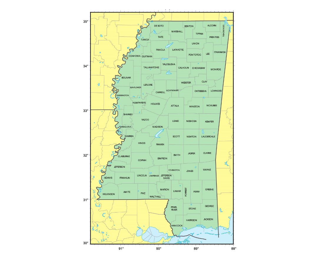
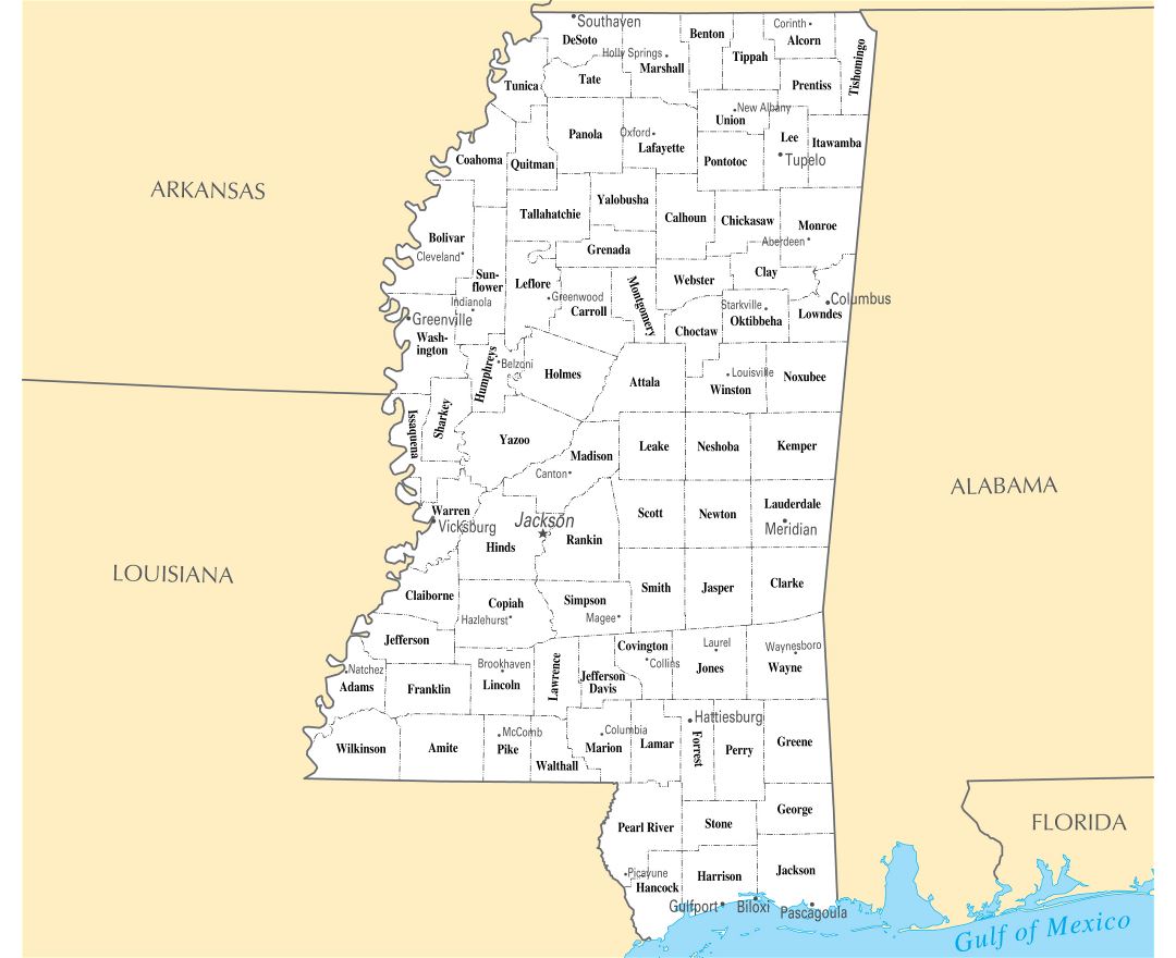
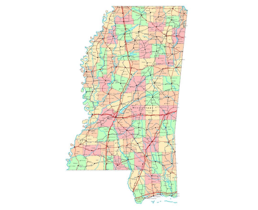
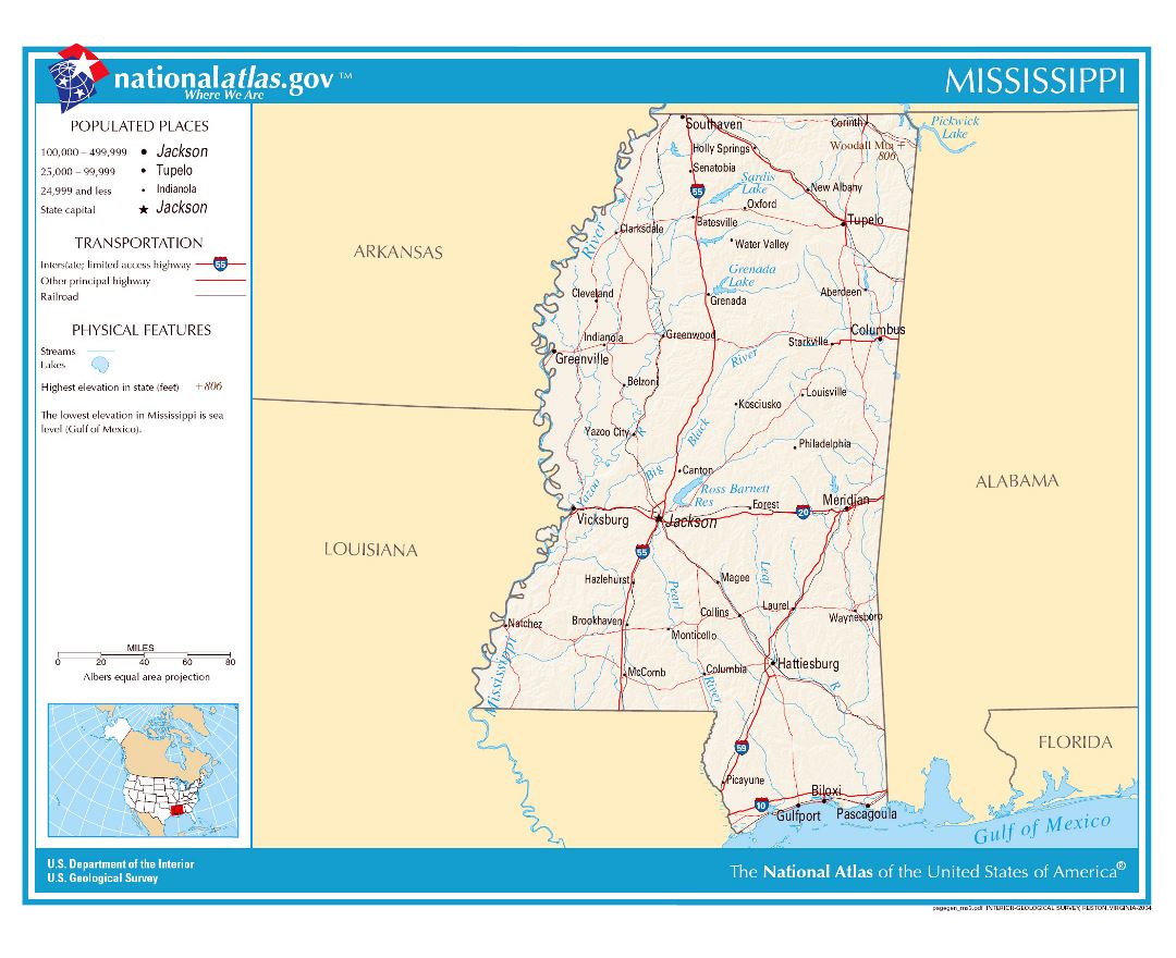
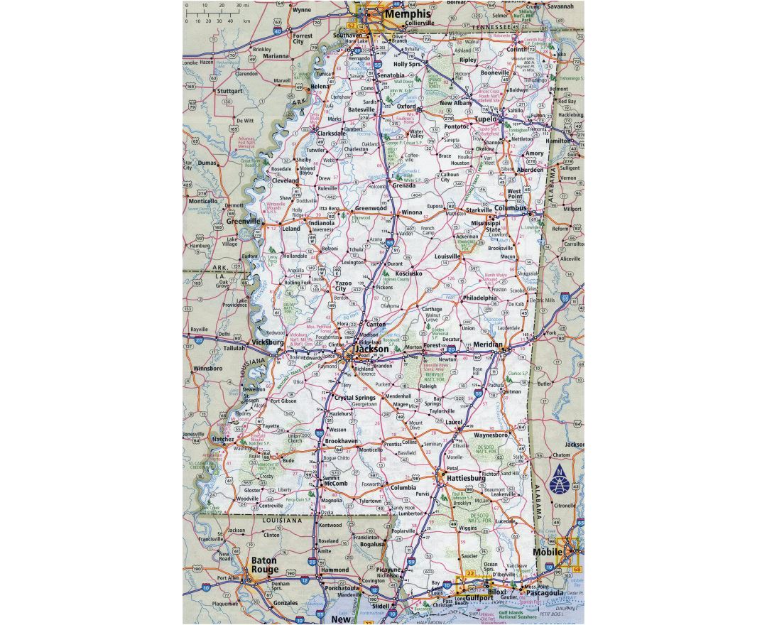
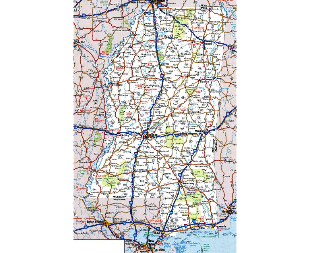
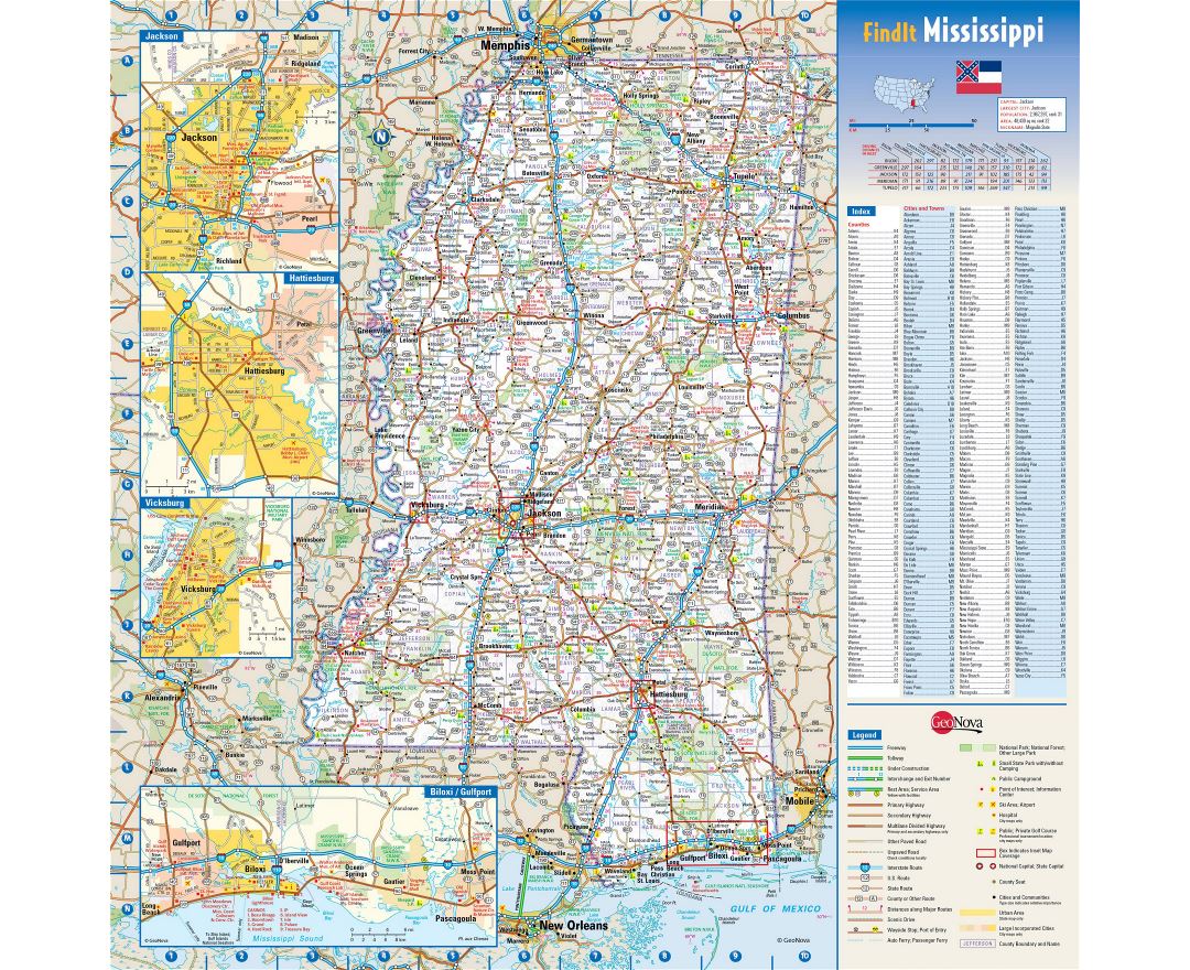
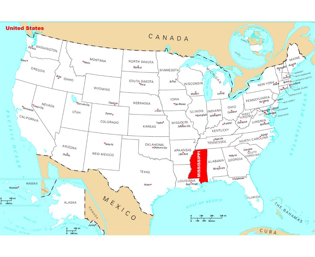
Mississippi is a state located in the southern region of the United States, with part of its southern border formed by the Gulf of Mexico. Its western border is formed by the Mississippi River.
Located in the center of the state, Jackson is the state capital and largest city, with a population of around 175,000 people. The state overall has a population of around 3 million people. Mississippi is the 32nd most extensive and the 32nd most populous of the 50 United States.
The state is heavily forested outside of the Mississippi Delta area, between the Mississippi and Yazoo rivers. Before the American Civil War, most development in the state was along riverfronts, where cotton plantations were cleared and worked by Slaves. After the war, the bottomlands to the interior were cleared mostly by freedmen. By the end of the 19th century, African Americans made up two-thirds of the property owners in the Delta, but timber and railroad companies acquired much of the land after the financial crisis and credit issues.
Clearing altered the ecology of the Delta, increasing the severity of flooding along the Mississippi. Much land is now held by agribusinesses. A largely rural state with agricultural areas dominated by industrial farms, Mississippi is ranked low or last among the states in such measures as health, educational attainment, and median household income. The state's catfish aquaculture farms produce the majority of farm-raised catfish consumed in the United States.
Since the 1930s and the Great Migration, Mississippi has been majority white, albeit with the highest percentage of black residents of any U.S. state. From the early 19th century to the 1930s, its residents were mostly black, a population that before the American Civil War was composed largely of African slaves. In the first half of the 20th century, a total of nearly 400,000 rural blacks left the state for work and opportunities in northern and midwestern cities, with another wave of migration around World War II to West Coast cities. In 2010, 37% of Mississippians were African Americans, the highest percentage of African Americans in any U.S. state. Since gaining enforcement of their franchise in the late 1960s, most African Americans support Democratic candidates in local, state and national elections. Conservative whites have shifted to the Republican Party. African Americans are a majority in many counties of the Mississippi-Yazoo Delta, an area of historic settlement during the plantation era. Since 2011 Mississippi has been ranked as the most religious state in the country.