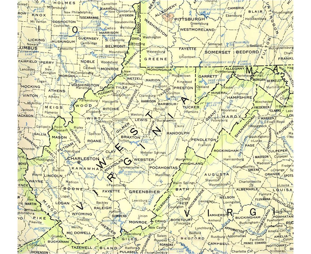
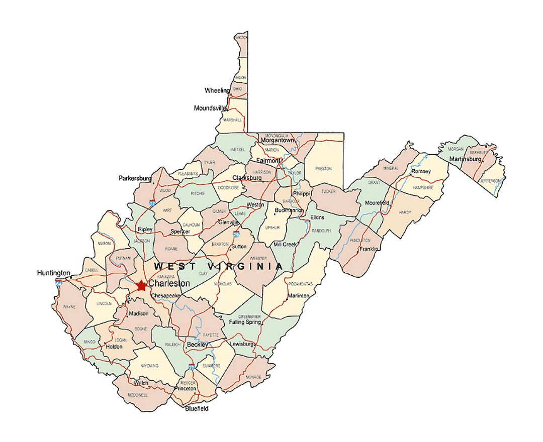
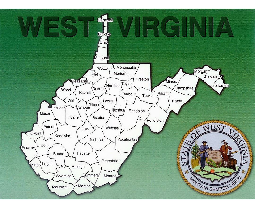
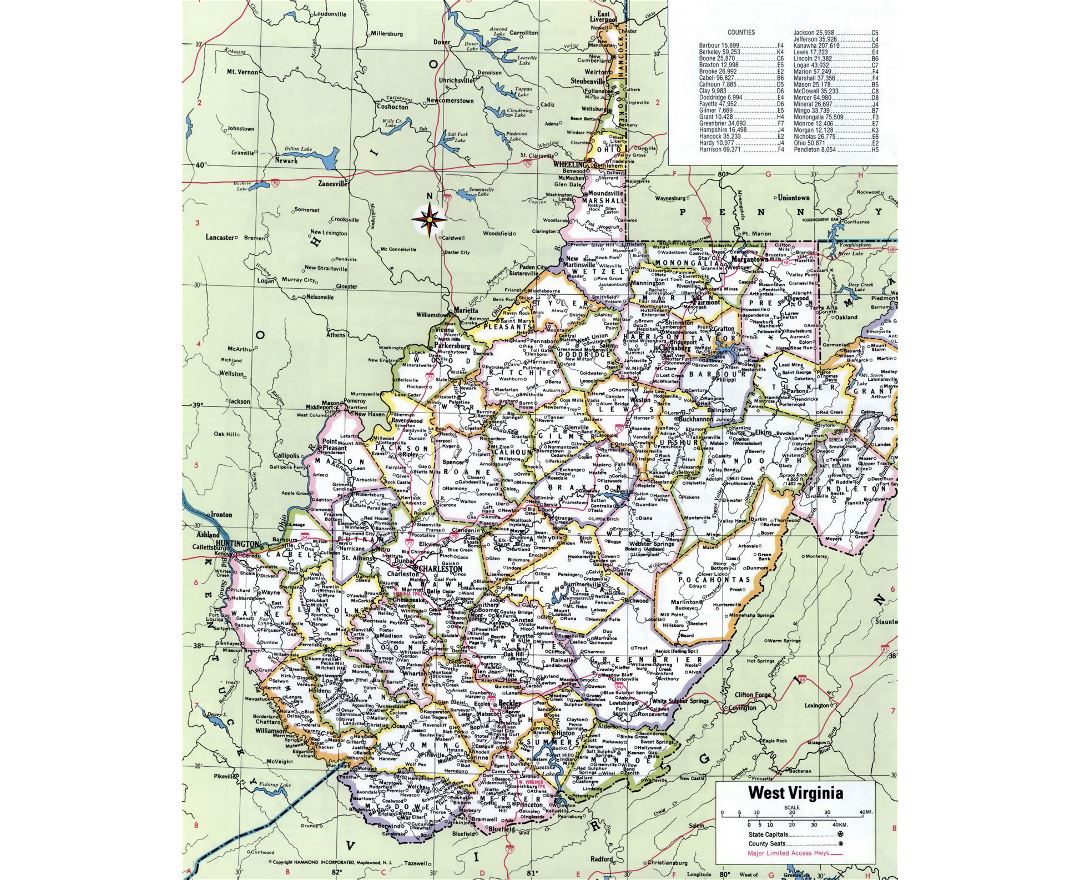
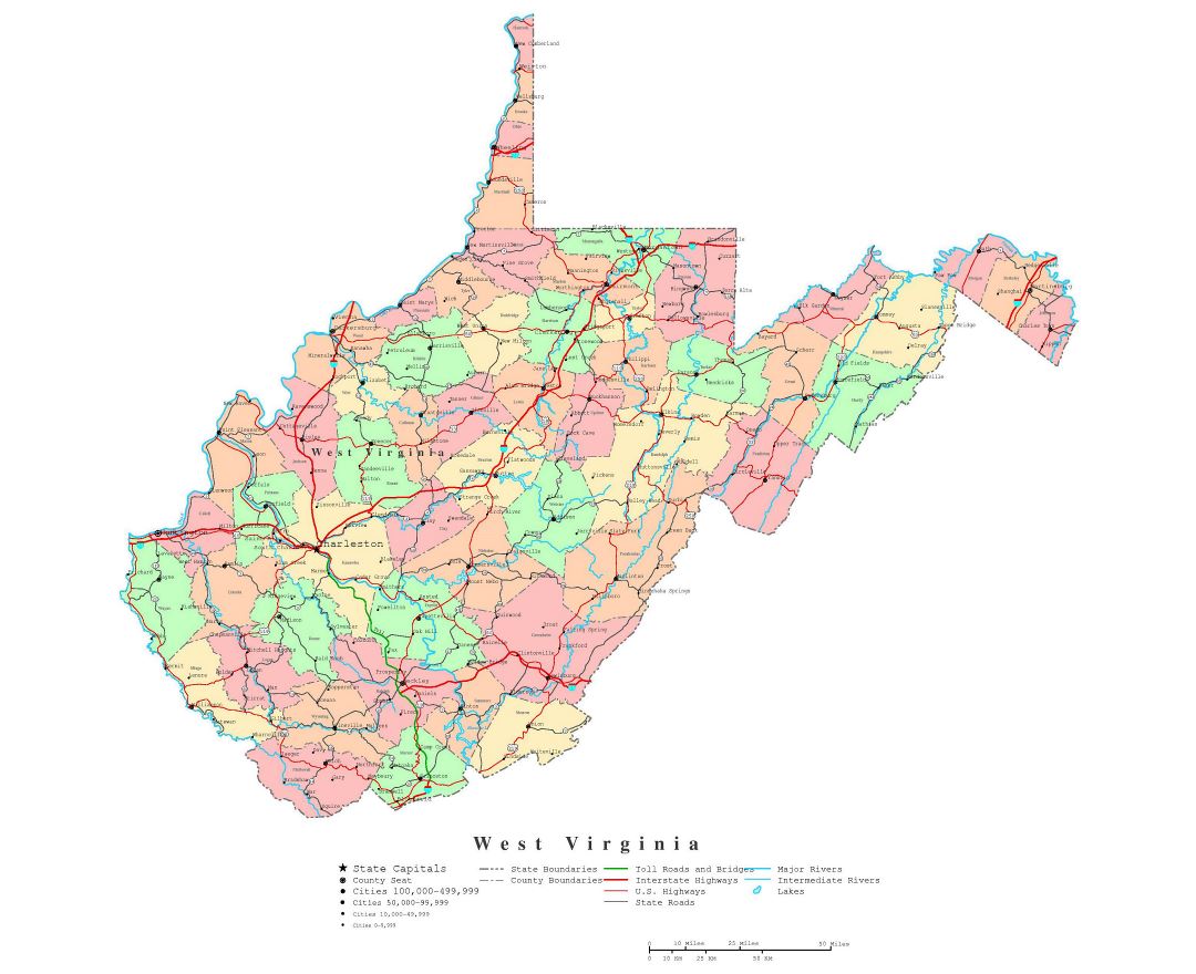
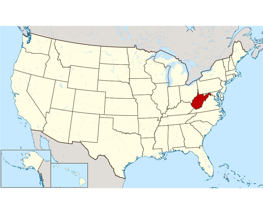
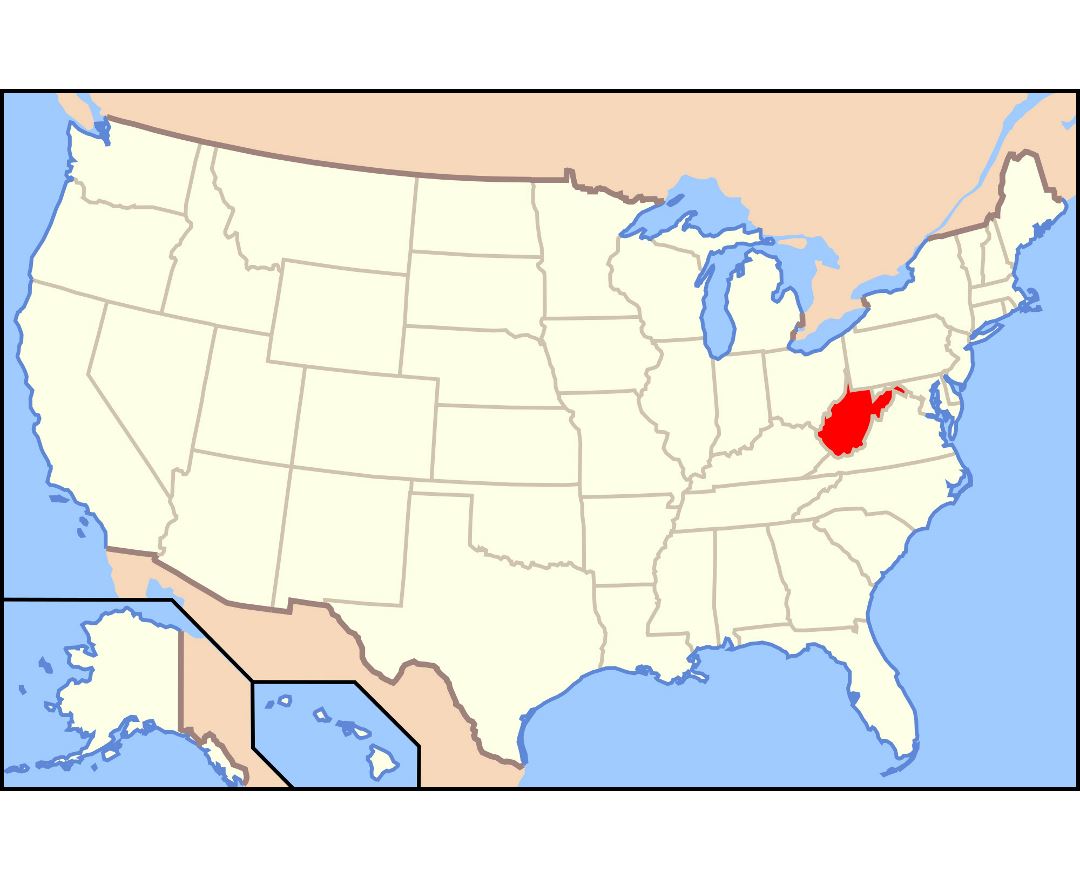
West Virginia state
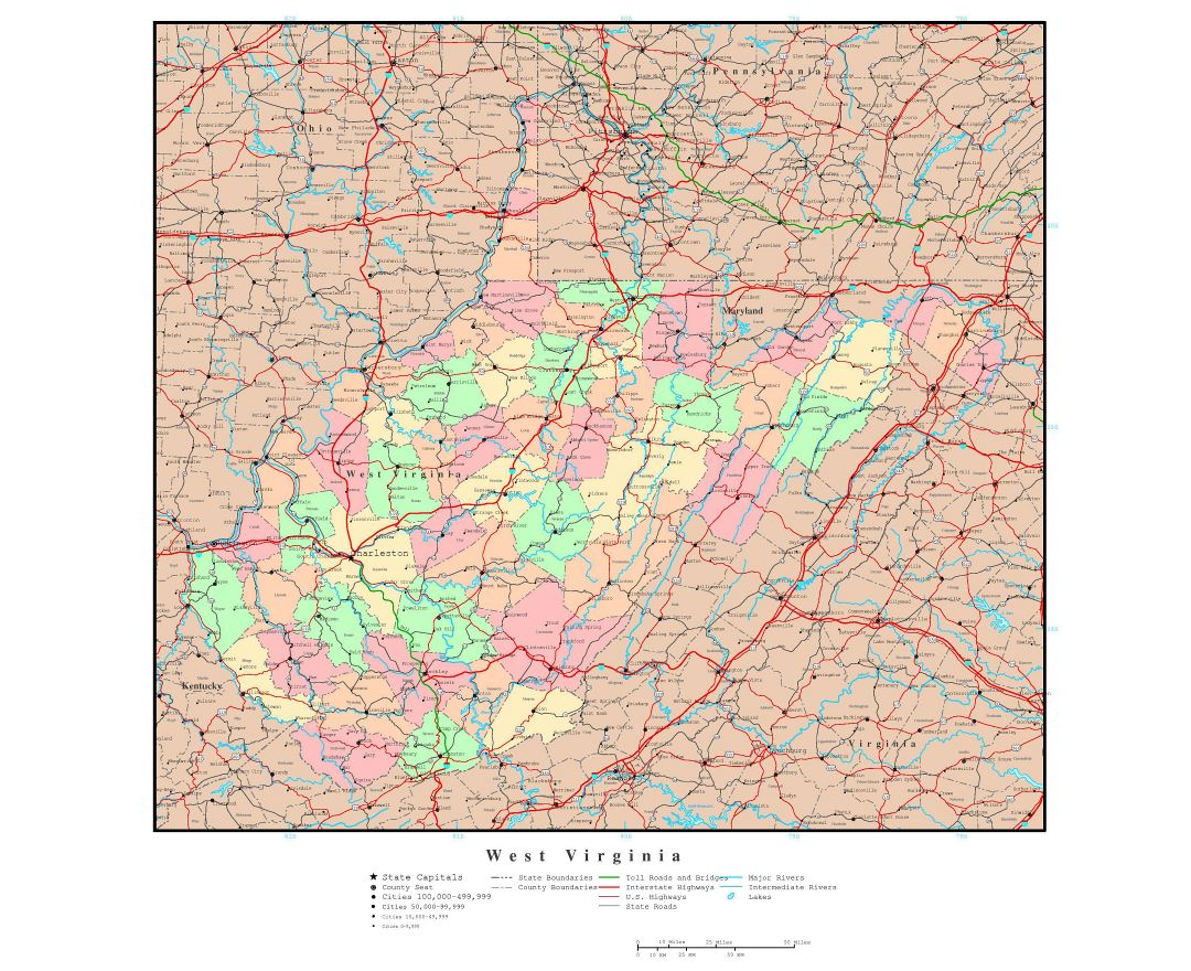
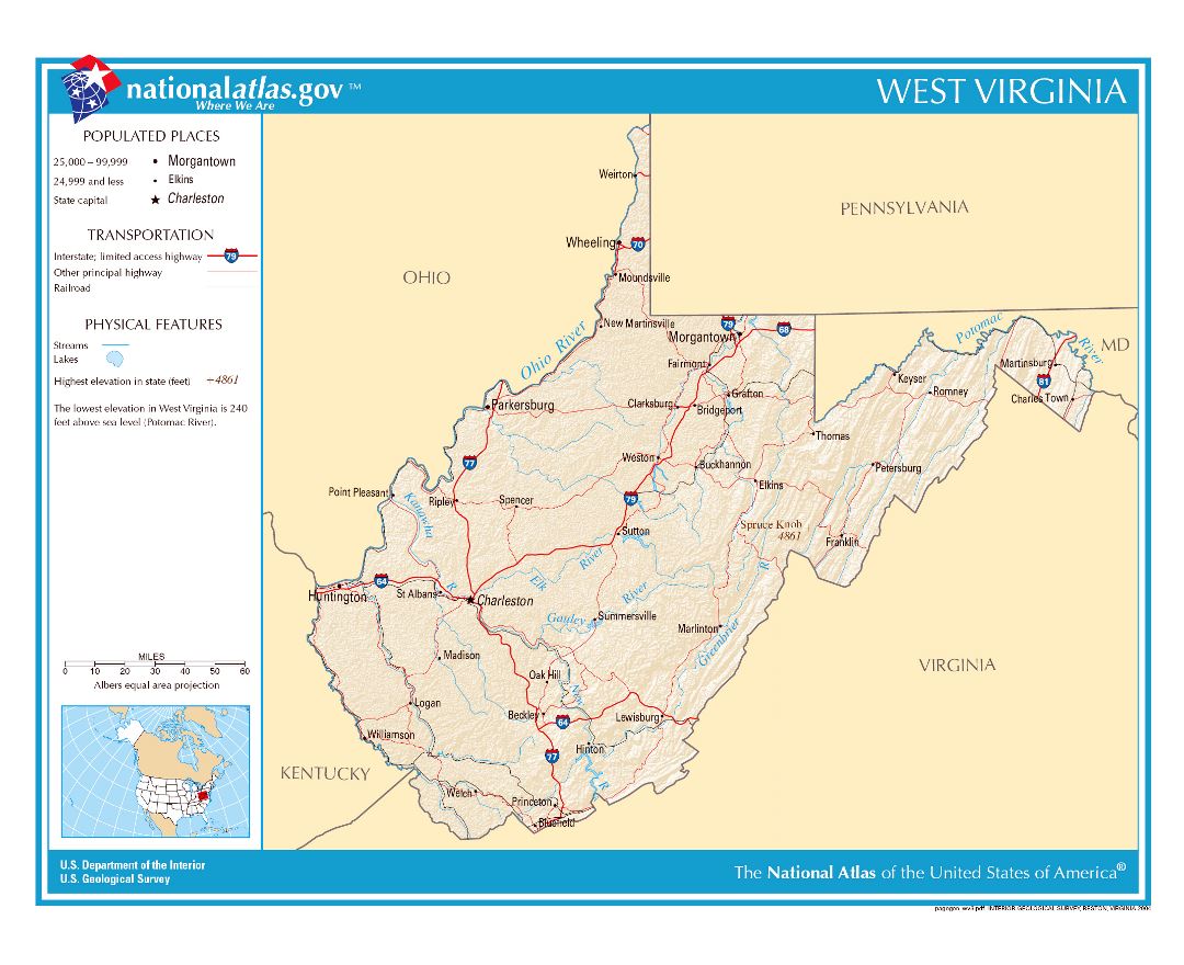
West Virginia is a state located in the Appalachian region of the Southern United States. It is bordered by Virginia to the southeast, Kentucky to the southwest, Ohio to the northwest, Pennsylvania to the north (and, slightly, east), and Maryland to the northeast. West Virginia is the 10th smallest by area, is ranked 38th in population, and has the fourth-lowest household income of the United States. The capital and largest city is Charleston.
West Virginia became a state following the Wheeling Conventions of 1861, after the American Civil War had begun. Delegates from some Unionist counties of northwestern Virginia decided to break away from Virginia, although they included many secessionist counties in the new state. West Virginia was admitted to the Union on June 20, 1863, and was a key border state during the war. West Virginia was the only state to form by separating from a Confederate state, the first to separate from any state since Maine separated from Massachusetts, and was one of two states admitted to the Union during the American Civil War (the other being Nevada). While a portion of its residents held slaves, most of the residents were yeomen farmers, and the delegates provided for gradual abolition of slavery in the new state constitution.
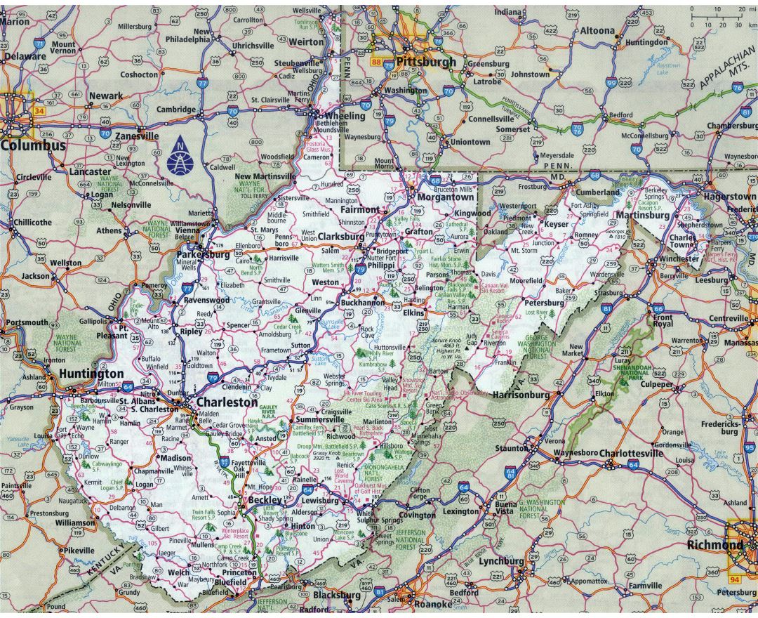
The Census Bureau and the Association of American Geographers classify West Virginia as part of the Southern United States. The northern panhandle extends adjacent to Pennsylvania and Ohio, with the West Virginia cities of Wheeling and Weirton just across the border from the Pittsburgh metropolitan area, while Bluefield is less than 70 miles (110 km) from North Carolina. Huntington in the southwest is close to the states of Ohio and Kentucky, while Martinsburg and Harpers Ferry in the Eastern Panhandle region are considered part of the Washington metropolitan area, in between the states of Maryland and Virginia. The unique position of West Virginia means that it is often included in several geographical regions, including the Mid-Atlantic, the Upland South, and the Southeastern United States. It is the only state that is entirely within the area served by the Appalachian Regional Commission, the area is commonly defined as "Appalachia".
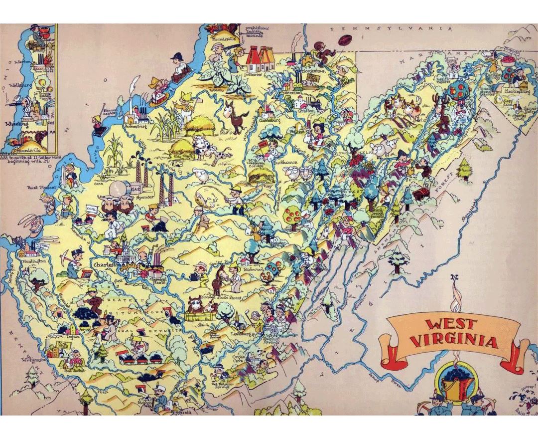
The state is noted for its mountains and rolling hills, its historically significant logging and coal mining industries, and its political and labor history. It is one of the most densely karstic areas in the world, making it a choice area for recreational caving and scientific research.The karst lands contribute to much of the state's cool trout waters. It is also known for a wide range of outdoor recreational opportunities, including skiing, whitewater rafting, fishing, hiking, backpacking, mountain biking, rock climbing, and hunting.