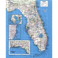
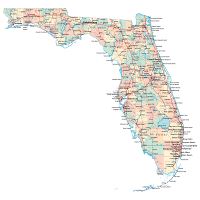
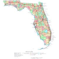
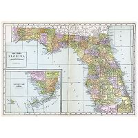
Detailed Florida state map with cities

Description of Florida state map
Florida state detailed map with cities. Detailed Florida state map with cities.
Image info
- Type: jpeg
- Size: 920 Kb
- Dimensions: 1655 x 1551
- Width: 1655 pixels
- Height: 1551 pixels